• Climate tree-ring proxies near Preboreal/Late Younger Dryas transition, from Upper Peninsula, Michigan
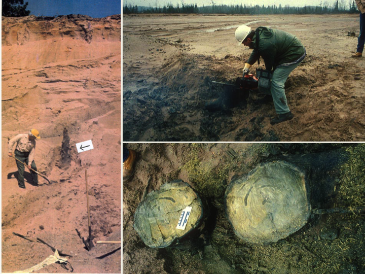
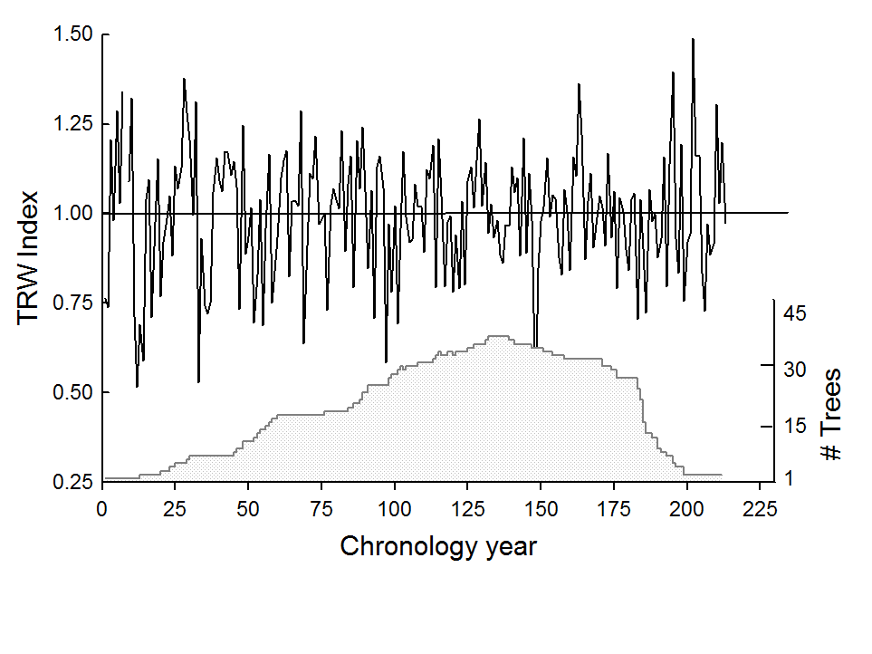
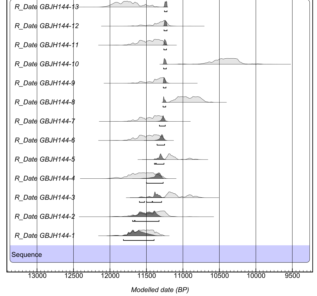
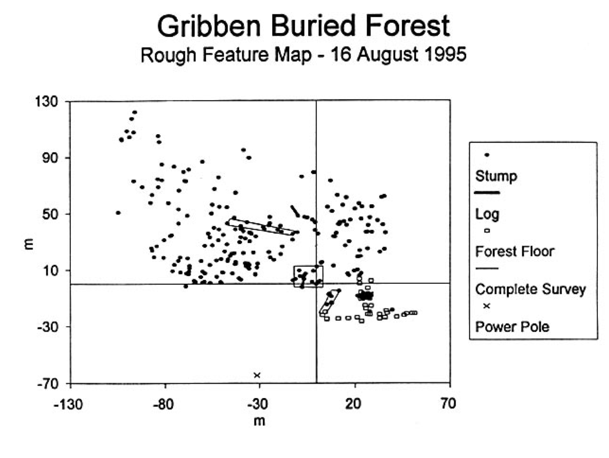
The Gribben Basin Sites are located ca. 10 mi (16 km) southwest of Marquette, Michigan. The iron-mine operations in the region needed storage for waste rock, and on at least 2 occasions as sand was being excavated from basins intended for this storage, ancient trees in growth position were discovered. In the 1970s, John Hughes of Northern Michigan University (NMU) collected many pieces of wood from one of the sites, and in the 1990s a group from Michigan Tech. University (MTU) collected wood from a second site. Our project was able to obtain a large number of dates on wood provided by John Hughes from his collection (Leavitt et al., 2006, 2007) and determined a radiocarbon age of ca. 10,000 BP (ca. 11,300 cal yr BP), making them slightly younger than the end of the Younger Dryas. The spruce trees established when the ice sheet retreated to the northern edge of Lake Superior, but a glacial re-advance resulted in inundation of the forest with water and outwash sediments (Lowell et al., 1999; Pregitzer et al. 2000). These sites had long since been filled with mine waste rock by the time our project commenced, but we got subsamples of most of the Hughes collection and a few from the MTU collection.